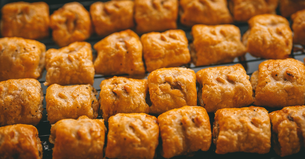
Robwicks on unsplash.com
Greggs university (h)eatmap
It’s the year 2035. The demand for higher education is up by more than 40,000 due to a rising 18-year old population. Universities are creaking at the seams. The Department of Education have tasked you - YES YOU! - in setting up a new institution, and pronto.
But where will you build? You’ve considered factors like space for a campus, distance to London, and planning permission for car parks. But you’re wrong.
The single most important piece of information that a student needs when choosing where to study is a university’s proximity to Greggs.
This pioneering map-based research will help you discover the untapped Greggs-to-student ratio of the UK.
The eatmap (surely heatmap? -ed) displays the locations of Greggs vs the locations of UK universities. Please, have a browse. There’s a lot to chew on.
Pins represent universities. Heatmap shows concentration of Greggs. Works best on desktop, pins are a bit dodgy on mobile.
So, back to it. Where to build? There’s quite a gap in Peterborough, but ARU Peterborough have beaten you to it. Oh crumbs, have they conducted this research already? Half way between Wakefield and Sheffield has potential - maybe Royston University? The University of Barnard Castle would have some great marketing angles. Or maybe in the south west, there’s enough Greggs in Wells to feed a few thousand hungry students.
When you’ve chosen your spot, please let the DfE (and the local Greggs branch manager) know. There’s a lot at steak (bake).
References: Map made using leafletjs.com. Heatmap made using patrick-wied.at/static/heatmapjs. Greggs data from the Food Standards Agency's food hygiene ratings, complied by Owen Boswarva on his blog at owenboswarva.com/blog/note-food1.htm. University location data from learning-provider.data.ac.uk (main postcodes only).
Paul works in strategic comms and brand at Keele, the latest university to gain a campus Greggs. He’s also gluten free, so doesn’t step foot in the place.
Paul Newton
Paul is Associate Director of Strategic Communications and Brand at Keele University, with responsibility of the University’s press office, internal communications, social media engagement, web development, and design functions.